
On a regular Basis I have to use maps to do reconnaissance onto clients. And I have to admit, that I use Google & Co on a regular Basis, but more and more I rely on a governmental site, called geoportail.lu
As already said, it’s completely free and maintained by the government. And if you think that this is probably some outdated and old fashioned page, you are definitely wrong! Honestly, for Luxembourg itself it’s an extraordinary tool!
Under Maps => General Portal you find classic maps of Luxembourg. And they are definetly up to date! But here come es in the magic. On the left you can add various layers. And I’ll point you to my favorite 3 features this site has to offer:
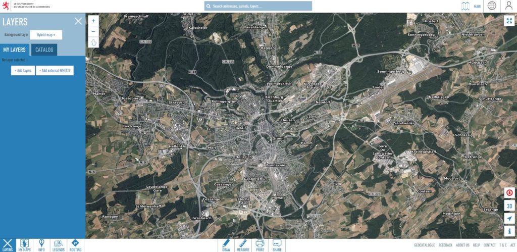
Layer Land Surface => Orthophoto-images
This is like a classical aerial view, but with an integrated time machine. Images from 2019, 2018, 2017, 2013, 2010, 2007, 2004 & 2001 are immediately available. With some clicking you could even turn back the time until 1951! Extraordinary!
Layer Infrastructure and Communication
This is a menu, where you can find various information’s on transport ways or public transport, like bus stop’s etc. Route Names and Buildings can be found, Chargy Stations, Radars and many many more…
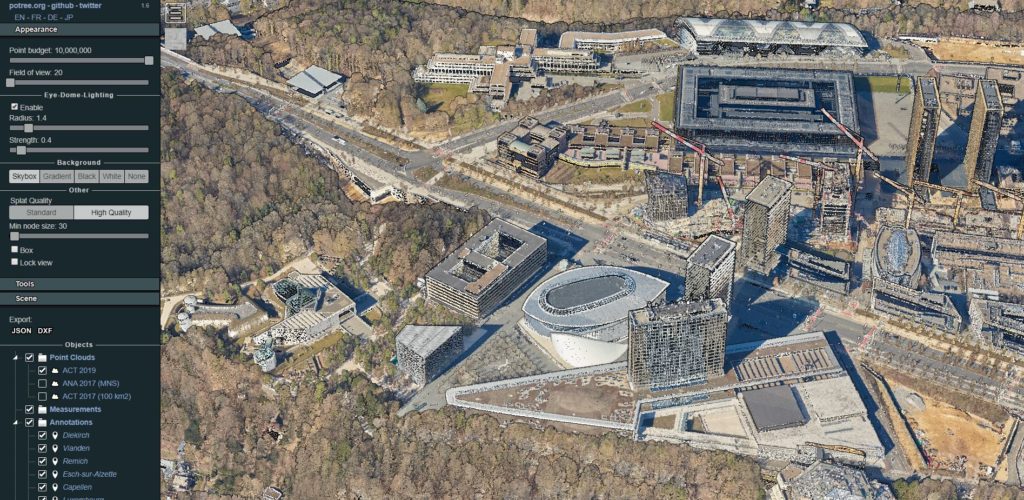
3D-Elevation Map
Last but not least, they published a digital 3D-Elevation Map of our complete Country! YES the whole country was scanned by Lidar-Radar! It’s best to visit their sub-domain for that, which can be found under lidar.geoportail.lu
Honestly this is quiet new and it blows my mind! You can recognize fences etc! So much better than a simple picture from above! This tool alone is worth to play around for some time! It’s my favorite!!!
Leave a Reply
You must be logged in to post a comment.